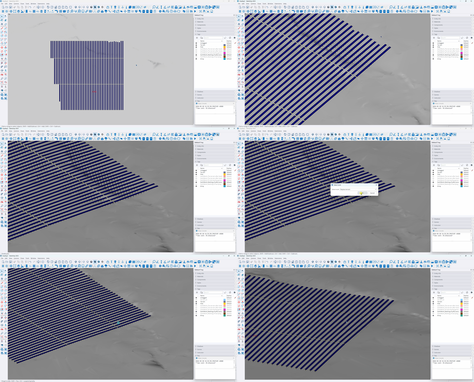
Adjust arrays and generate site leveling general plan
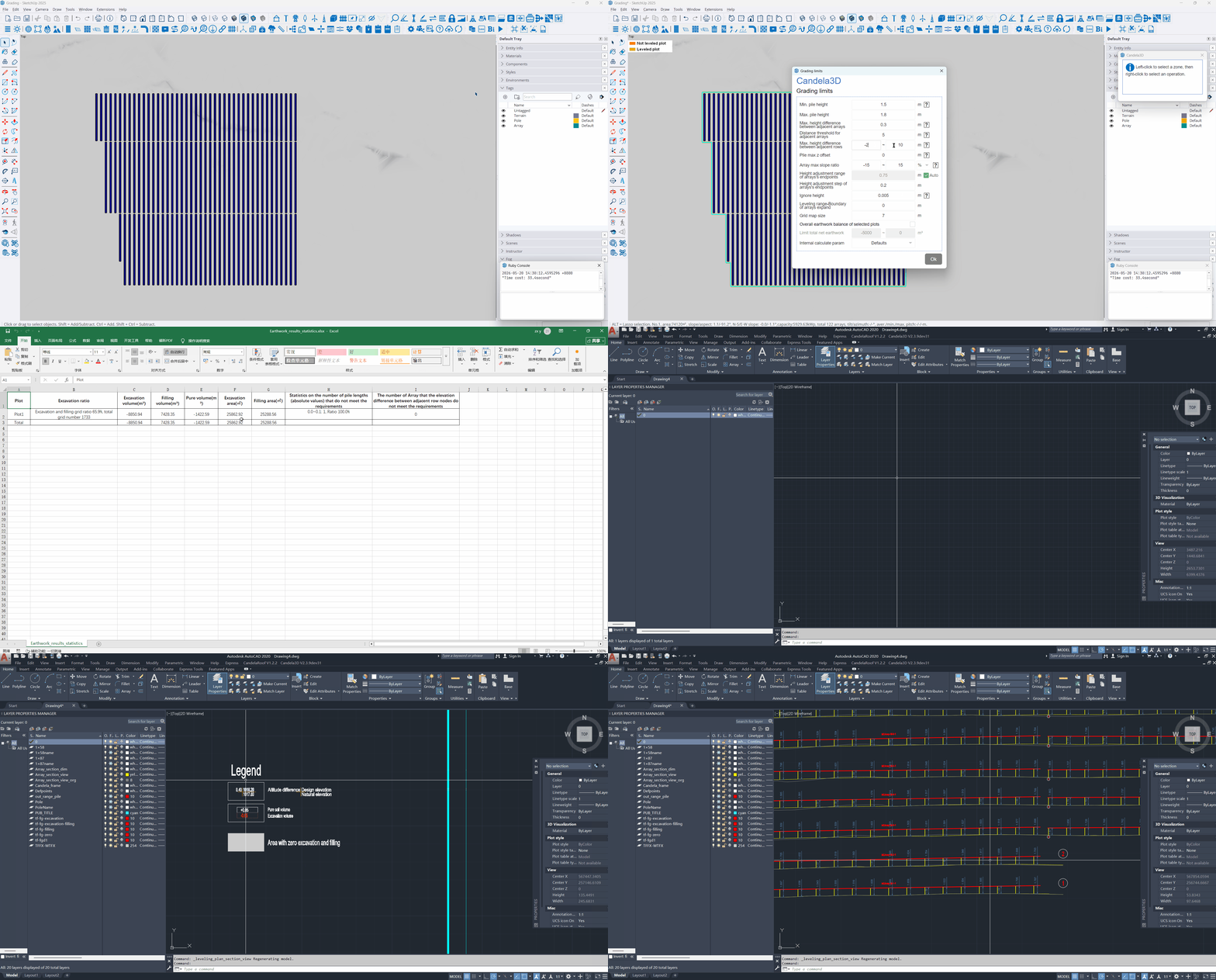
Array parameter adaptation and adjustment: According to the design limits (pile height, base slope, and height difference between adjacent arrays), automatically adjust the base slope and ground clearance of the racks to ensure compliance with regulations.
Site selective leveling: Perform relative leveling on the terrain that does not meet the requirements for racks, optimize the terrain by blocks, and control the earthwork volume.
Parametric earthwork calculation: Configure parameters such as pile height, elevation difference, slope, grid size, and excavation-to-fill ratio to accurately calculate the excavation and filling volumes, supporting earthwork balance control.
Generate a complete set of results with one click: Auto output the leveling model, earthwork statistics table, and CAD interactive files, with the results uniformly archived.
Compliance verification: Automatically verify whether the pile length meets the standard, find non-compliant arrays, and provide a basis for iterative optimization.
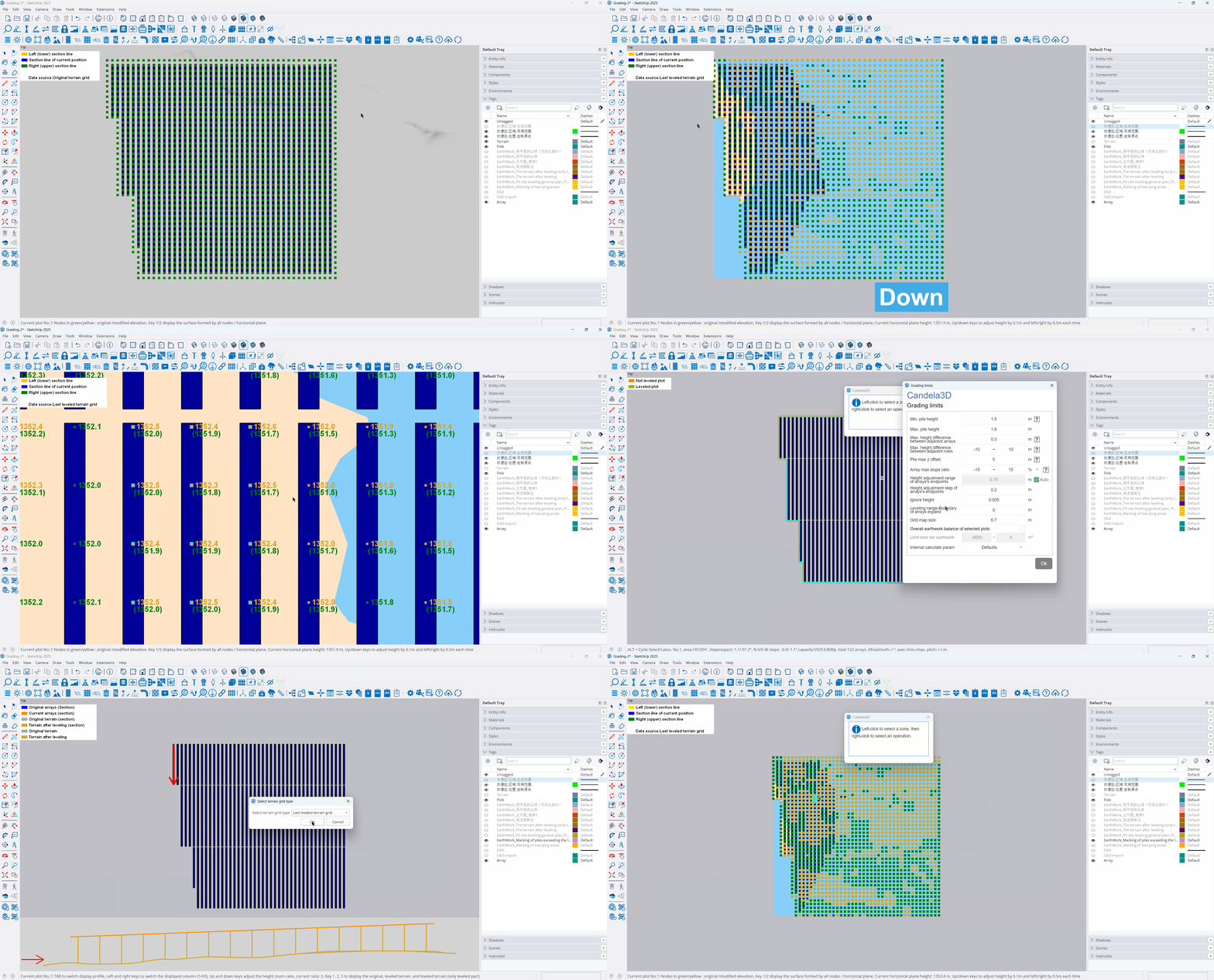
Manually adjust the terrain and re-level the site -- Taking the treatment of water accumulation on the site as an example
Restore or import terrain: Restore the plot nodes to the previous leveling elevation, or import the leveling-completed grid node data file.
Find the water-logged area: Adjust the elevation of the water level and identify the blue water-logged area enclosed by yellow.
Manual adjustment of terrain: Select the grids around the waterlogged area and adjust the elevation to be above the water surface.
Re-leveling: Keep the original parameters, select Manual adjustment for the terrain grid, and recalculate the site leveling.
Review result: Check whether there is still water accumulation in the newly generated terrain. The new earthwork grid is calculated based on the original terrain and serves as the final result
Replace the original terrain with the leveled terrain
Check the site leveling effect: After replacing the terrain, the site leveling results can be visually verified.
Support subsequent design: Conduct cable length statistics and yield calculation based on the leveled terrain, ensuring that the design data is consistent with the site leveling results.