
Convert different types of data into 3D terrain
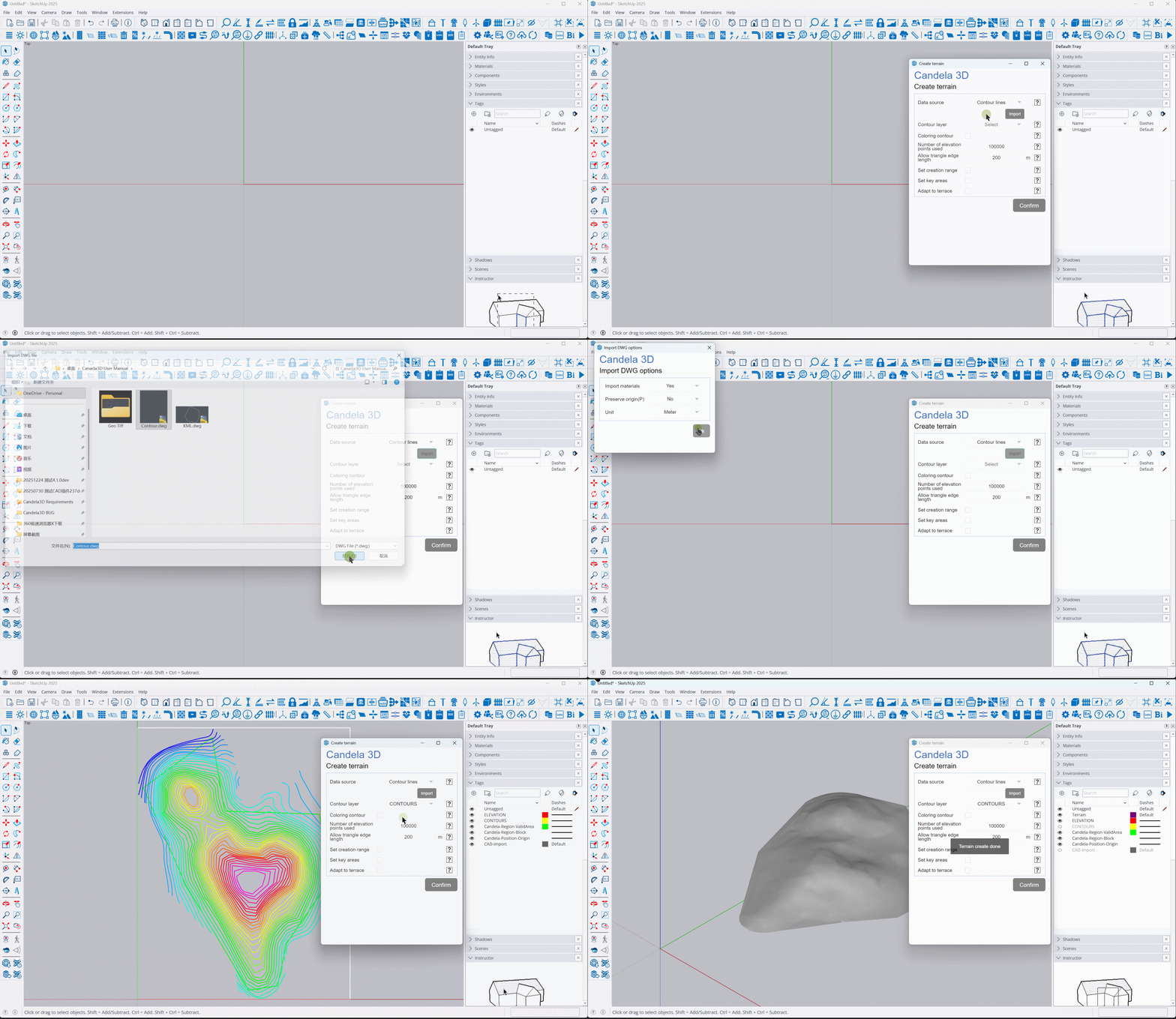
Convert DWG files containing contours or elevation points into 3D terrain
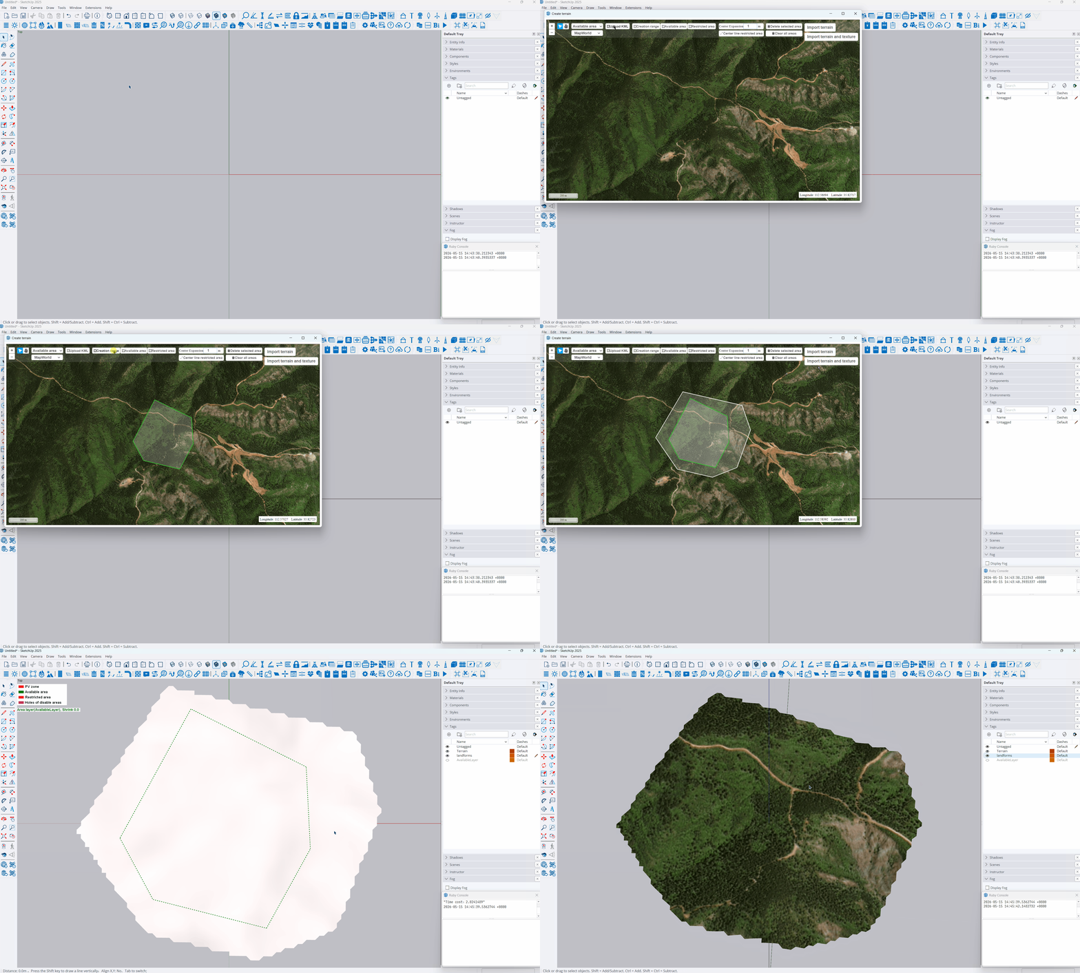
KML files serve as terrain ranges, generating satellite terrain
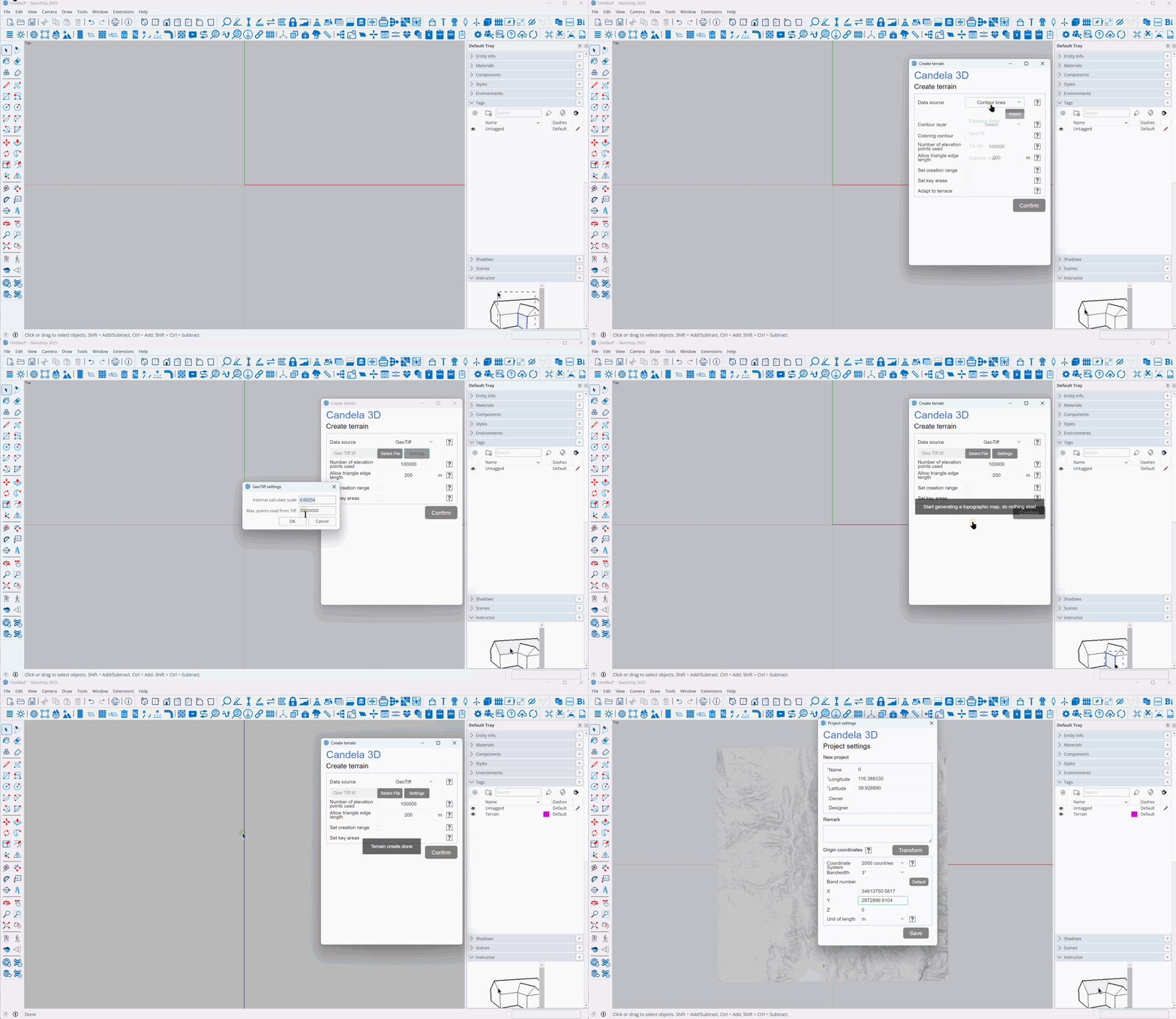
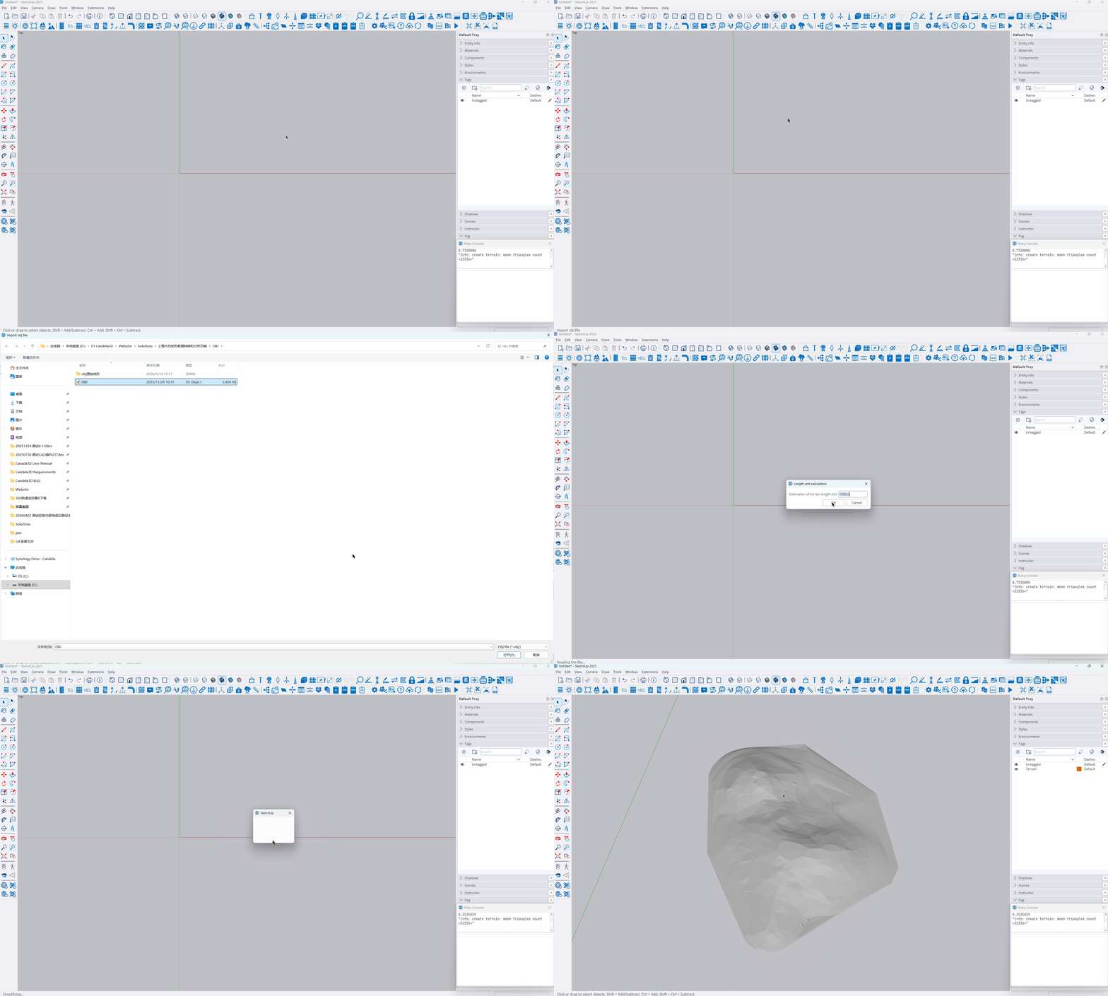
Convert Geo Tiff files or OBJ files from drone aerial survey into 3D terrain
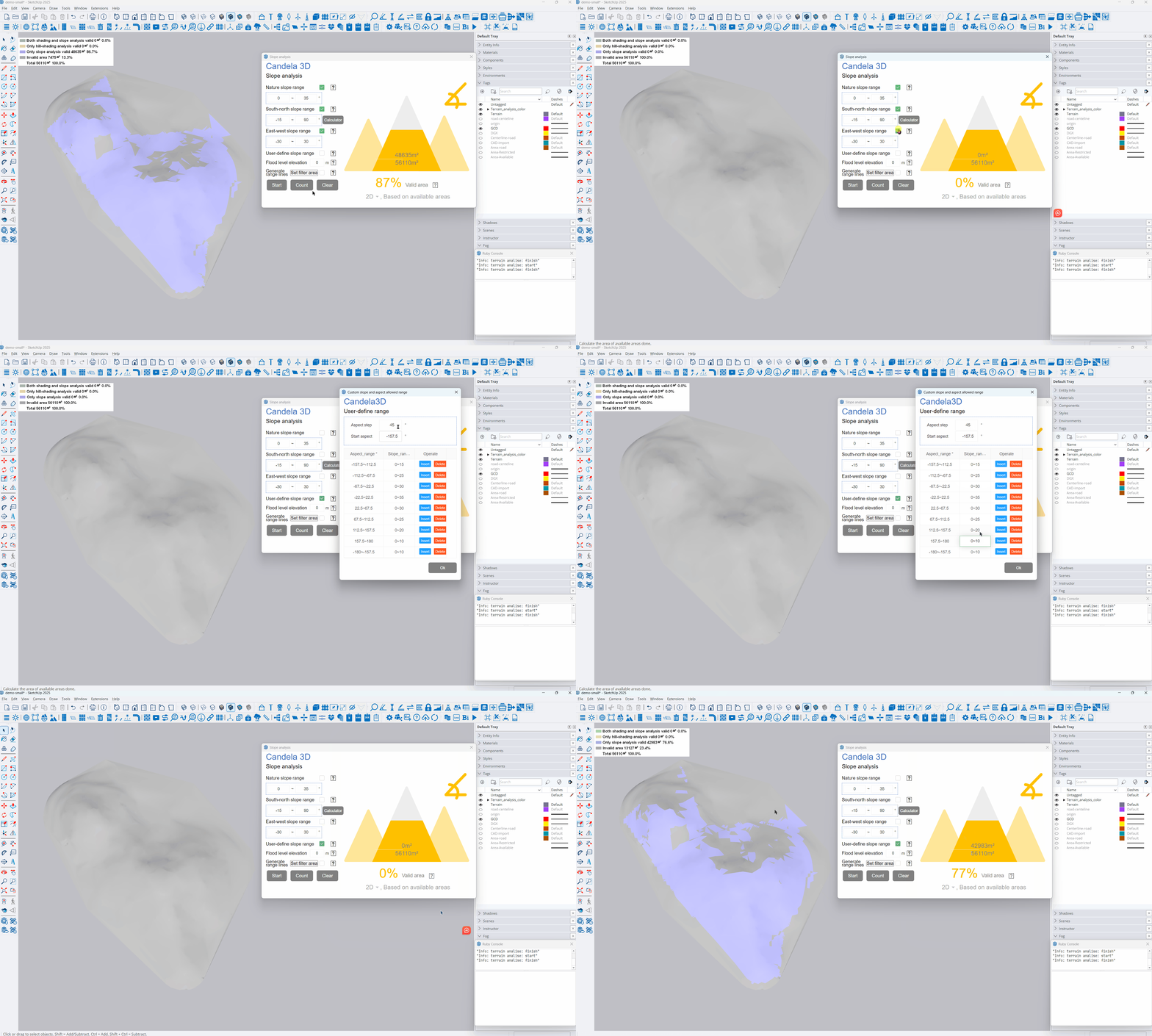
For complex Terrain, you can also User-defined Slope and Aspect to find suitable Layout zones


Quickly Find Available Terrain with Multiple Parameters
When there are areas with steep slopes within the Red line, the construction difficulty is too high. The terrain can be filtered according to the Nature slope to remove these areas
Taking the Northern Hemisphere as an example, when the slope of the North Slope is steep, the shadows of the arrays become noticeably longer. Therefore, different south-facing and north-facing slope angles can be set to filter out suitable terrains
When the E-W Direction slope of the terrain is too steep, it will significantly affect the stability of the rack structure. At this time, the area that meets the rack requirements can be found through screening based on the E-W Direction slope
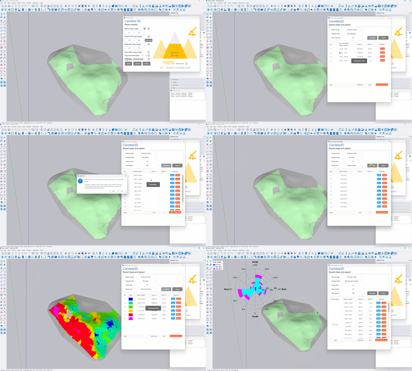
Analyze terrain from multiple dimensions
For complex terrain, it may feel difficult to start, but you can quickly understand the terrain situation through the terrain analysis function, providing a reference for subsequent work
Different parameters such as natural slope, N-S Direction slope, E-W Direction slope, and aspect of the terrain can be analyzed. The terrain before or after filtering can also be analyzed.
By analyzing the Terrain slope and Aspect, one can view the distribution of Terrain orientation
Analyze the orientation of the terrain can quickly understand the dispersion of terrain orientation
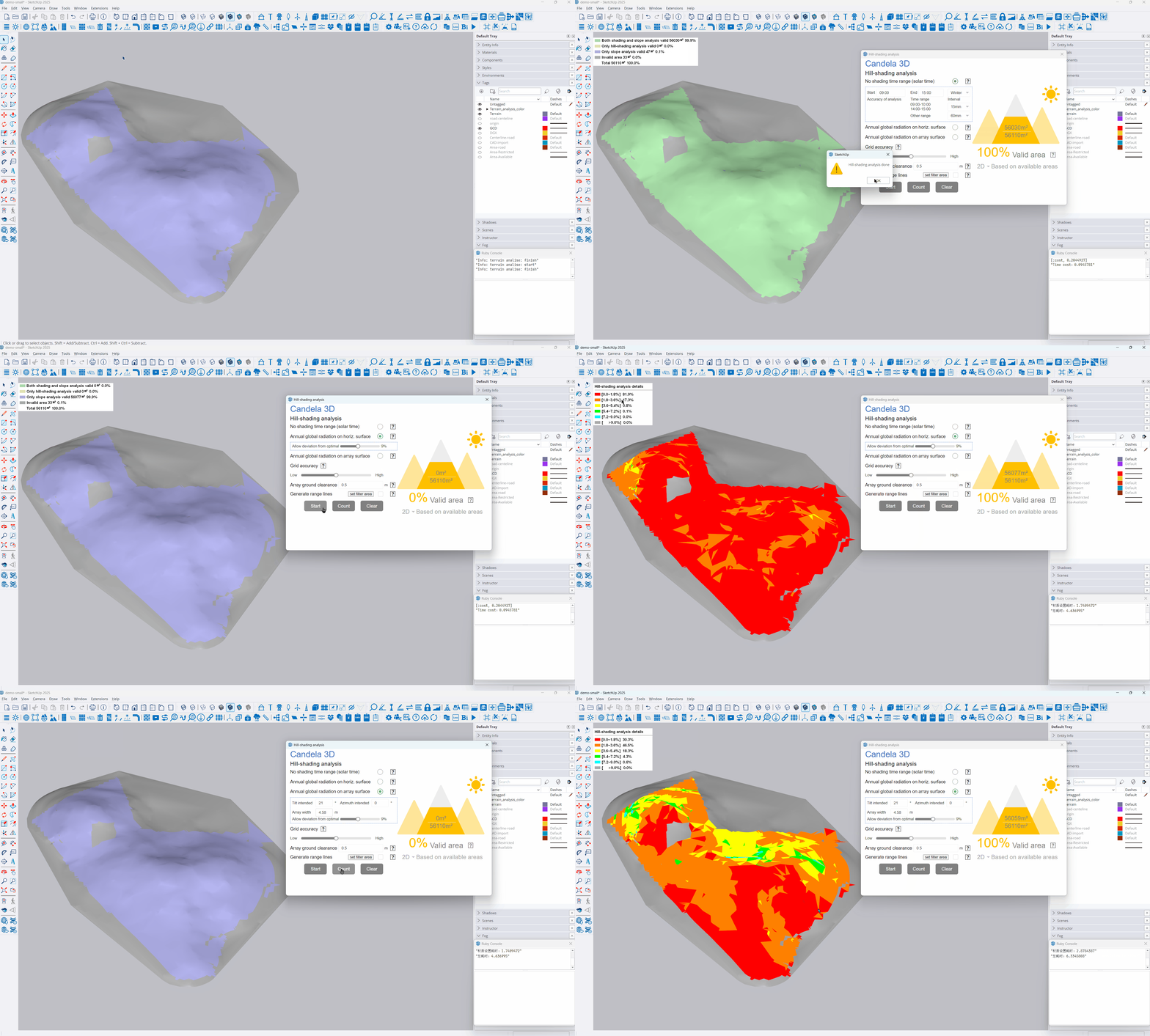

Find Layout zones based on sunshine conditions
The obstruction between terrains also needs to be considered. For example, in the basin area, despite the flat terrain, it also needs to be filtered when it is obstructed by surrounding tall terrains
You can filter areas by occlusion time, which is the most commonly used filtering method
When the proportion of solar diffuse radiation in the project location is relatively large, radiation screening can be adopted, which is more reasonable for the selected area compared to time-based screening
The radiation can be measured by level, or on array surface

Terrain parameterized shading, visualized No. layout
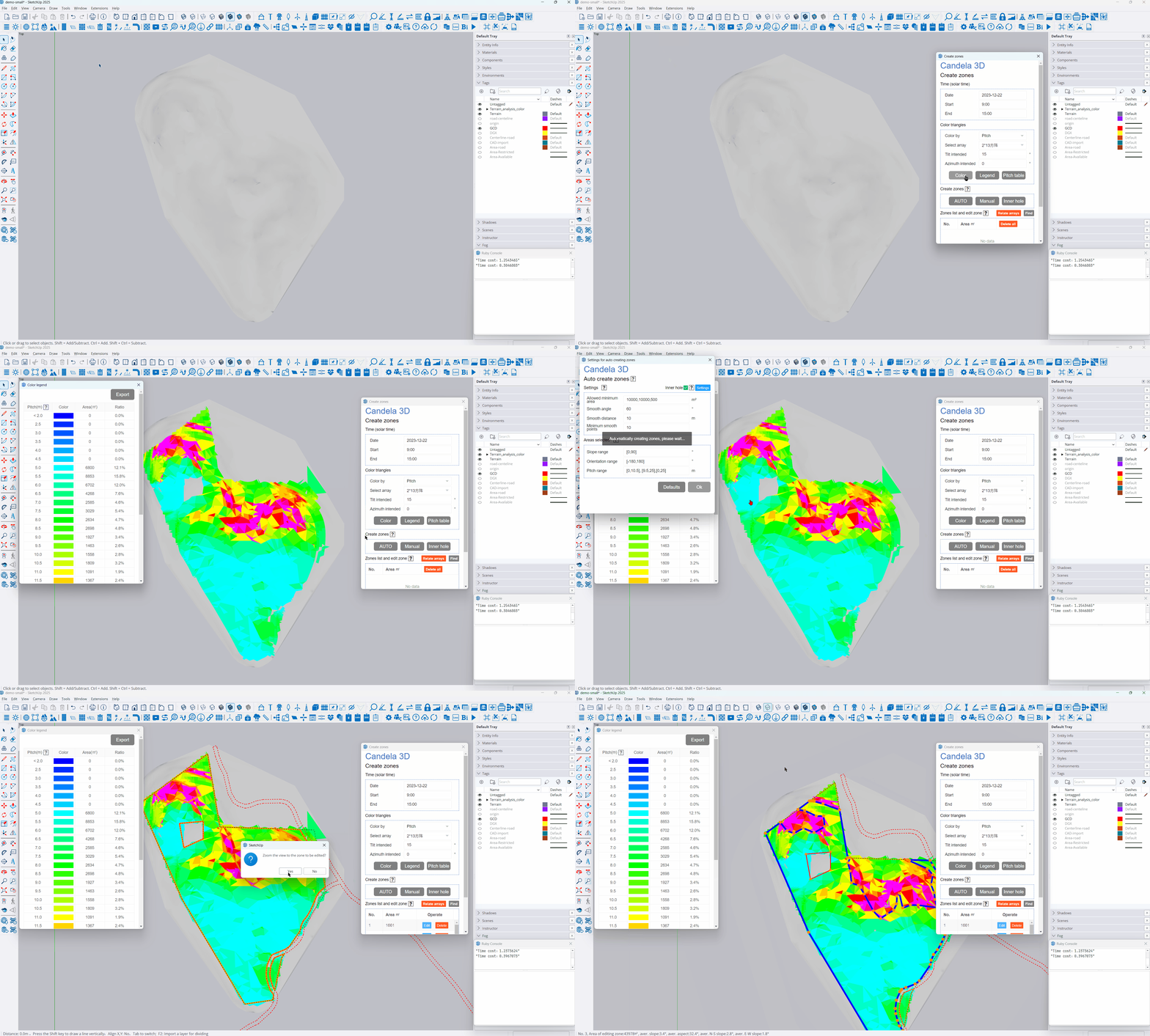
According to array layout, calculate the theoretical pitch, and assign the same color to terrains with similar pitches
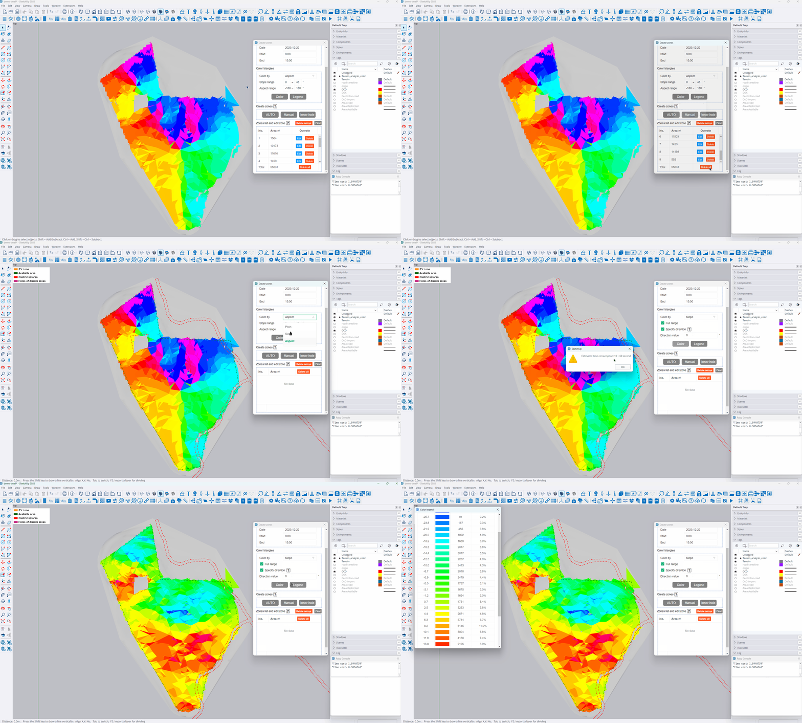
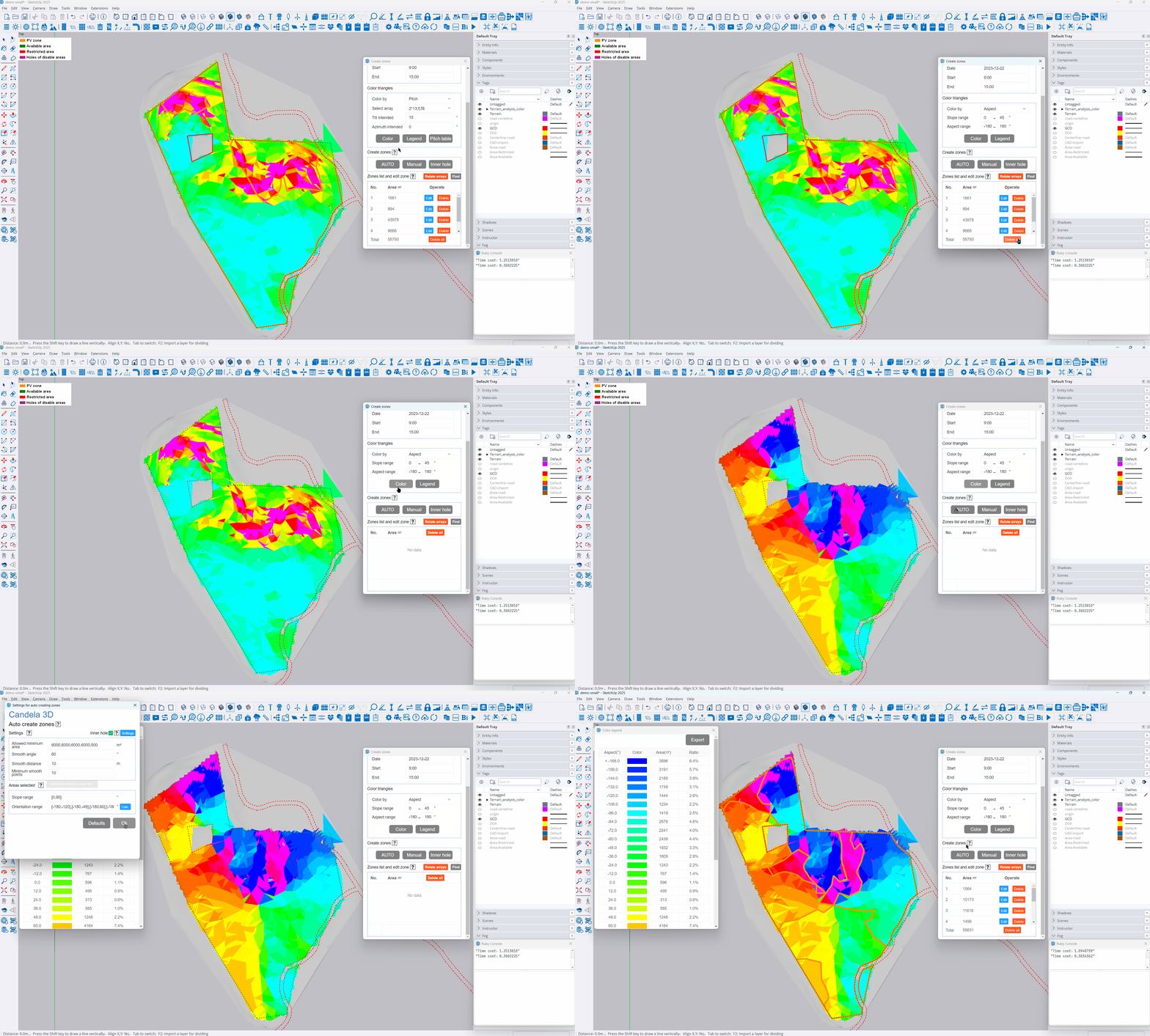
Terrain can also be colored by slope or azimuth
After coloring, it can automatically divide into different areas, with areas of similar colors grouped together